By A.R. Garba, A.M. Yamusa, C.K. Daudu, S.L. Yau, M.I. Gaya, and A. Abdulkadir
Remote sensing shows significant potential for scaling the assessment, and mapping, soil fertility across African agricultural landscapes. Still, the path forward likely lies in an integrated approach that combines the power of remote sensing for broad-scale assessment and planning with targeted laboratory analysis.
For smallholder farmers across Africa, knowing which soil nutrient concentrations are adequate in their fields, and which are lacking, is one of the foundations for sustainable farming. Traditional soil testing through laboratory analysis has long been the gold standard, but its cost and limited accessibility present significant barriers. Remote sensing technologies offer promising alternatives that could revolutionize how farmers manage soil nutrients across vast agricultural landscapes.
An experiment was established to answer a practical question: How well do satellite-based remote sensing methods compare with traditional laboratory analysis in assessing key soil nutrients? By comparing these approaches, we aimed to determine whether remote sensing could provide a reliable, cost-effective alternative for assessing soil fertility at scale.
Why this matters for African agriculture
Precision agriculture and nutrient management represent transformative approaches that could help African farmers optimize inputs while improving yields and sustainability. However, the first step toward precision is gaining accurate information about soil conditions. Remote sensing technologies could democratize access to soil information by
1) providing wider coverage than laboratory sampling alone,
2) reducing costs associated with extensive field sampling,
3) enabling rapid assessment of soil properties, and
4) supporting more timely decision-making for fertilizer application.
Our approach
The study was conducted across four local government areas (LGAs) in Kaduna State, Nigeria. Kubau and Makarfi LGAs are in the northern Guinea savannah, and Kagarko and Lere LGAs are in the southern Guinea savannah (Fig. 1). This region experiences tropical Guinea savanna conditions with average annual temperatures of 25.2°C and annual rainfall averaging 1,323mm.
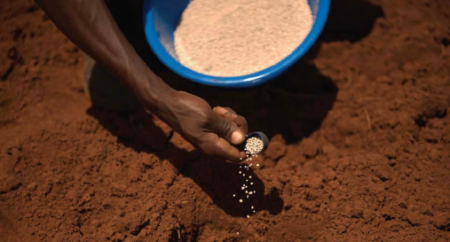
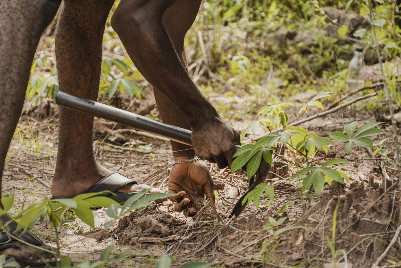
Researchers collected 16 soil samples from the top 20 cm of soil across different cropping systems (4 samples per location for 4 areas), recording precise locations using GPS. Samples were taken pre-planting with two locations designated for maize, one for soybean, and the fourth for rice. Soil samples were analyzed for soil organic carbon (SOC), total nitrogen (N), soil organic matter (SOM), and available phosphorus (P) and potassium (K).

Simultaneously, Sentinel-2 satellite imagery was obtained at 20 meters resolution for data analysis through proprietary algorithms to estimate the same soil properties remotely. Results from the physical sampling and remote sensing were compared using correlation analysis (Pearson) to determine how well the remote sensing assessments matched laboratory findings.
Results
The analysis revealed significant differences in how well remote sensing performed across different soil properties. Remote sensing proved most reliable for estimating soil organic matter, showing a strong positive correlation (r=0.68) with laboratory results. This finding aligns with other African studies that have successfully used spectral data to map organic matter across agricultural landscapes (Vågen et al., 2016). Soil organic matter is a crucial indicator of overall soil health and influences water retention, nutrient cycling, and C sequestration. The ability to map organic matter through remote sensing offers farmers valuable insights into soil quality without extensive sampling.
Soil C, however, showed only a weak positive correlation (r=0.23) between remote sensing and laboratory measurements. This weaker relationship reflects the challenges of estimating total soil C from surface spectral properties alone. While remote sensing shows promise for soil C assessment, the correlation suggests we should use caution when relying solely on satellite data for precise soil C measurements. Integration of remote sensing with ground sampling is recommended to improve accuracy.
Interestingly, our analysis revealed varying correlations between laboratory-measured SOM and remotely sensed estimates of other soil properties (Fig. 2). Laboratory SOM showed a strong positive correlation with remotely sensed C (r=0.70), suggesting that remote sensing techniques that effectively capture SOM may also provide valuable insights into soil C content. This strong relationship is expected given that SOM is approximately 58% C by mass. The moderate correlation between lab SOM and remotely sensed N (r=0.32) indicates potential for using SOM as a proxy indicator for N status, though with less reliability than for C. The weak correlation with remotely sensed P (r=0.18) suggests limited utility in predicting P status from SOM measurements alone. These relationships merit further investigation, as they could potentially allow farmers to gain insights into multiple soil properties through remote sensing approaches that effectively capture SOM variability, thereby enhancing the efficiency of soil monitoring programs.
Total N also showed a weak positive correlation (r=0.14) between remote sensing and laboratory analysis. This modest relationship reflects nitrogen’s complex and dynamic behavior in soils. Nitrogen management is vital for crop productivity, but its mobility and susceptibility to various N transformation processes and losses make it particularly challenging to directly assess soil N through remote soil sensing. Farmers may still need direct soil testing for accurate N fertilizer recommendations.
Negative correlations between remote sensing and laboratory measurements were found for both soil P (r=-0.48) and K (r=-0.42). A negative relationship indicates that values obtained through remote sensing may show trends that are opposite to laboratory measurements. The complexity of soil P and K dynamics appears to limit current remote sensing capabilities for these nutrients. This highlights where traditional soil testing remains irreplaceable for precision nutrient management.

Practical implications for African farmers
Our findings have significant implications for how precision agriculture might be implemented across Africa. Tiered Approach to Soil Assessment: Remote sensing could provide initial, broad-scale assessments of organic matter and C, while targeted laboratory testing could fill gaps for P, K, and N.
Cost-Effective Mapping: For resource-limited contexts, remote sensing offers valuable insights into organic matter distribution across landscapes at lower cost than comprehensive sampling.
Targeted Sampling Strategy: Rather than random or grid sampling, farmers could use remote sensing to identify priority areas for detailed laboratory analysis.
Technology Integration: The future of soil fertility assessment likely involves integrating multiple approaches combining satellite data, proximal (ground-based) sensors, and strategic laboratory testing.
While our research demonstrates both the promise and limitations of remote sensing for soil nutrient assessment, several important questions remain for future investigation:
- How do seasonal variations affect the accuracy of remote sensing for soil nutrients?
- Could machine learning algorithms improve the prediction of challenging nutrients like P and K?
- What combination of sensing technologies might provide the most comprehensive and cost-effective soil assessment?
- How can farmers without technical expertise access and use remote sensing information?
Conclusion
Remote sensing shows significant potential for revolutionizing how we assess and map soil fertility across African agricultural landscapes. For soil organic matter assessment particularly, it offers a valuable complement to traditional sampling methods. However, our research demonstrates that remote sensing cannot yet replace laboratory analysis entirely, especially for critical nutrients like P and K.
The path forward lies in developing integrated approaches that leverage the strengths of both methods using remote sensing for broad-scale assessment and strategic planning while employing targeted laboratory analysis where precision is most crucial. By combining these tools, African farmers can move closer to precision-based nutrient management that optimizes resources while maximizing productivity and sustainability.
Mr. Garba (e-mail: abbariruwai@gmail.com) and Prof. Daudu are researchers with National Agricultural Extension and Research Liaison Services (NAERLS), Ahmadu Bello University (ABU) Zaria. Dr. Yamusa and Mr. Gaya are researchers with Samaru College of Agriculture, Division of Agricultural Colleges, Ahmadu Bello University, Zaria, Nigeria. Prof. Abdulkadir is a researcher with the Department of Soil Science, Institute of Agricultural Research (IAR)/ ABU, Zaria.
The authors acknowledge support from Ahmadu Bello University, Zaria.
Cite this article
Garba, A.R., Yamusa, A.M., Daudu, C.K., Yau, S.L., Gaya, M.I., Abdulkadir, A. 2025. Comparing Laboratory and Remote Sensing Methods for Soil Nutrient Assessment in Northern Nigeria. Growing Africa 4(1):15-17. https://doi.org/10.55693/ga41.XVYN8680
REFERENCES
Garba, A.R. 2024. Assessing of Soil Nutrients Using Laboratory and Remote Sensing Methods in Northern Guinea Savannah. In, Proceeding of 3rd African Conference on Precision Agriculture (AfCPA 2024), African Plant Nutrition Institute, December 3-5, Marrakesh, Morocco. https://www.paafrica.org/Proceedings
Vågen, T.G., et al. 2016. Mapping of soil properties and land degradation risk in Africa using MODIS reflectance. Geoderma 263, 216-225.